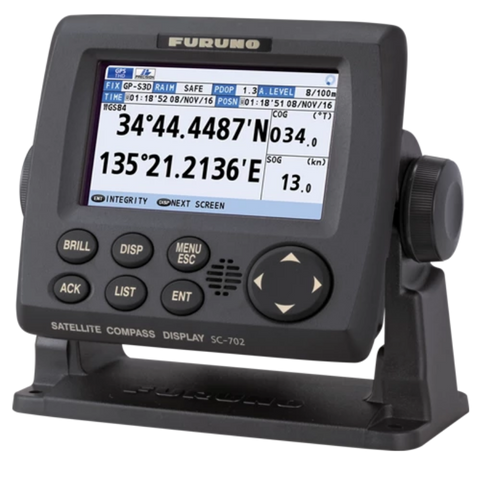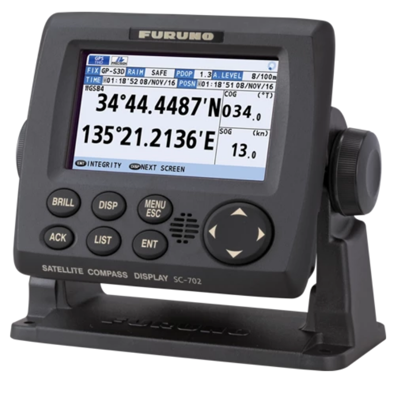
SC130
Super-High Accuracy Satellite Compass with Tri-Sensor Antenna
Precise and accurate Heading
The SC130 is the latest satellite compass built on Furuno’s commercial-grade technology platform. This satellite compass proves its value by increasing the accuracy of other devices, such as Radar, ARPA (Automatic Radar Plotting Aid), Scanning Sonar, Current Indicator, Chart Plotter, ECDIS (Electronic Chart Display and Information System) and Autopilots. The SC130 provides a highly accurate heading input to these other technologies by utilising the very latest GNSS (Global Navigation Satellite System). This satellite system is comprised of GPS, Galileo and GLONASS to ensure the highest precision and a continuous coverage.
Bow and Stern monitoring for safe berthing
The SC130 provides a variety of data, including GPS Positioning, SOG (Speed Over Ground), COG (Course Over Ground), ROT (Rate Of Turn) and 3-axis speed (bow, stern and longitudinal). All of these data assist with critical maneuvers, such as berthing. The Compass is maintenance-free - a great asset for any vessel - and connects easily into the existing shipboard network via Ethernet connection.
IMO Type Approved as THD, GPS and ROTI
The SC130 provides highly accurate heading data of 0.25° for autopilot, Radar, ARPA, Scanning Sonar, Current Indicator, Chart Plotter, ECDIS and Autopilots. It is ideal for medium to large vessels navigating in crowded ports and making precise maneuvers, such as berthing and docking, and is IMO Type-approved as THD (True Heading Display), GPS and ROTI (Rate Of Turn Indicator), complying with the IEC/ISO requirements. It features a rapid follow-up rate 40°/s, twice the IMO high-speed craft requirement of 20°/s.
Features:
- Stylish design to complement the appearance of recreational boats
- Features a Tri-sensor antenna that provides a high heading accuracy of 0.25°
- Utilises GNSS such as GPS, Galileo and GLONASS for high precision
- Speed on 3 axis (bow, stern and longitudinal) for safe navigating and berthing
- Type-approved as THD, GPS and ROTI. Complying with the IEC, ISO requirements
- Easily integrated into existing shipboard network via Ethernet
- Super short start-up time of 90 seconds
- Excellent follow-up rate of 40°/s exceeds requirements for high speed craft
- Free from regular maintenance
- Easy to retrofit by using existing antenna cabling
- Precision Pitch/Roll data in Analog and Digital formats
- NMEA2000 interface standard
- Accuracy: 0.25°
- Follow-Up: 40°/s rate-of-turn
- Power Supply: 12-24V DC