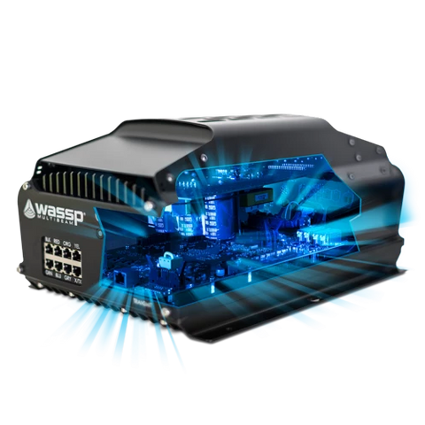
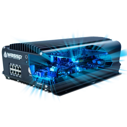
WASSP W3
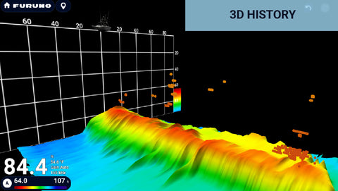
Generate 3D Bathymetric Charts and share them live by WiFi from your Tender
To see our worldwide WASSP distributors please visit this page.
Proudly Made in New Zealand
GET REAL-TIME REMOTE MAPPING WITH MULTIBEAM SOUNDER
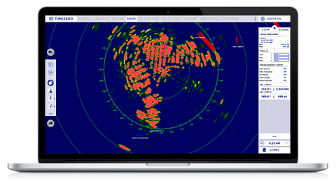
Generate your own 3D Bathymetric charts and share them live by WiFi from your tender to the mothership. These charts are real including any changes that may have been made since your electronic charts were generated. Get the precision you need.Not just the precision where the container ships go.

GENERATING BATHYMETRIC CHARTS TO ALLOW YOU TO EXPLORE NEW PLACES ON:
- Superyachts
- Exploration vessels
- Cruise ships
- Search & Rescue
- Coastguards
- Navy
ENJOY SAFER ANCHORAGES
With the W Series, captains can use a support vessel or tender to remotely gather accurate bathymetric information that is not reliable in navigation charts. This means faster, safer navigation and anchorage in poorly charted regions.
For vessels such as superyachts and cruise ships that are exploring remote locations, dive sites or wrecks, the W3 can help you avoid obstacles and accidental damage and plan for the perfect dive, fish or anchorage for lunch. With multiple tenders, you can map the seafloor even faster and find the perfect anchorage more quickly.
KNOW IF THE SEAFLOOR HAS CHANGED
Natural events like cyclones, hurricanes, volcanoes and earthquakes can alter the seafloor. This means the bay in which you anchored last season may no longer be safe. Only real-time data can tell you. Don’t take the risk – play it safe and make your own bathymetric maps with WASSP.